MIAMI (AP) — Bermuda’s government called up troops and urged people on the British Atlantic island to make final preparations for an expected close brush Wednesday with Hurricane Humberto, a powerful Category 3 storm. Authorities ordered early closings of schools, transportation and government offices.
Gov. John Rankin called up 120 members of the Royal Bermuda Regiment to prepare for possible storm recovery efforts and National Security Minister Wayne Caines said schools, government offices and ferries on the island would close at noon and bus service would halt at 4 p.m.
Officials expected tropical storm-force winds to begin whipping at Bermuda in the morning and warned that hurricane-force gusts would probably last until early Thursday. Humberto was predicted to pass just north of the territory of some 70,000 people, though a small shift in its path could bring the storm over the island itself.
The U.S. National Hurricane Center said Humberto’s maximum sustained winds strengthened to 115 mph (185 kph) and it would probably remain a Category 3 hurricane through Thursday, though there could be some fluctuations in its winds. The storm was centered about 240 miles (390 kilometers) west of Bermuda early Wednesday, moving east-northeast at 16 mph (26 kph).
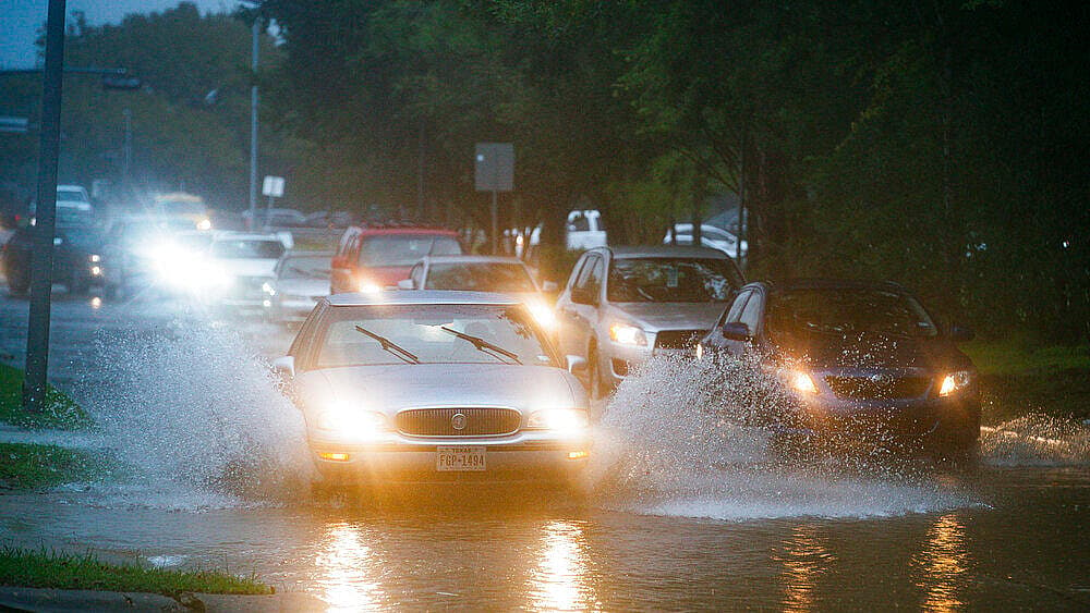
In Texas, the remnants of Tropical Storm Imelda threatened to drench parts of Southwest Texas and southwestern Louisiana with up to 18 inches (46 centimeters) of rain over the next few days. It was the first named storm to hit the Houston area since Hurricane Harvey’s much heavier rains flooded more than 150,000 homes around the city and caused an estimated $125 billion in damage in Texas.
Tropical Storm Jerry also formed Wednesday morning, forecast to become a hurricane as it nears the outermost Caribbean islands Thursday night or Friday.
Meanwhile, Tropical Storm Lorena was moving off Mexico’s Pacific Coast, and forecasters now expect it to become a hurricane Friday as it approaches shore. They warned of heavy rains and flooding to resorts from Zihuatanejo to Cabo Corrientes. Lorena had top winds of 60 mph (95 kph) early Wednesday and was centered about 140 miles (225 kilometers) southwest of Zihuatanejo, moving northwest at 14 mph (22 kph).
Further off Mexico’s Pacific Coast, Tropical Storm Mario also was expected to be a hurricane by Friday as it approaches the southern tip of Baja California and become nearly stationary through Friday night.
