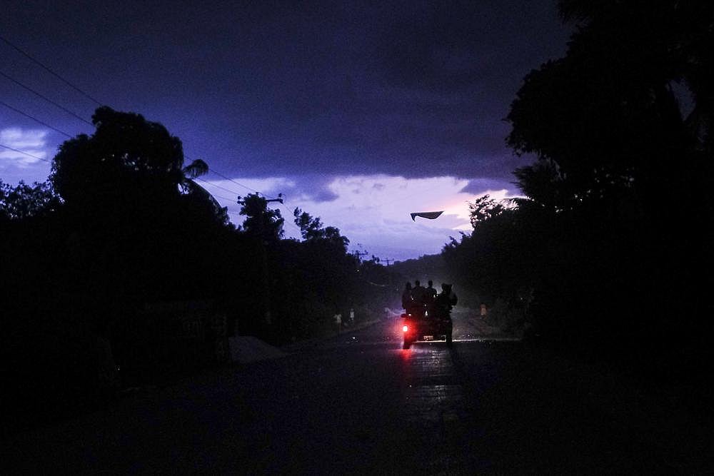
Tropical Depression Grace drenched earthquake-damaged Haiti on Monday, threatening to dump up to 15 inches (38 centimeters) of rain on a landscape where people are huddling in fields and searching for survivors of a 7.2 earthquake. Tropical Storm Fred was strengthening off the northwest Florida coast, where forecasters said it could make landfall by Monday evening.
Air Force Reserve Hurricane Hunter aircraft determined that Fred’s maximum sustained winds increased to nearly 60 mph (97 kph) and that the tropical storm was shifting eastward. By 8 a.m. EDT, it was 90 miles (145 km) south-southwest of Apalachicola, Florida, moving north at 9 mph (15 kph).
The U.S. National Hurricane Center said Fred’s main threats are rainfall — anywhere from 4 to 8 inches (10 to 20 centimeters) for Florida’s Big Bend and Panhandle — and storm surge. High water between 3 to 5 feet (1 to 1.5 meters) could enter the area between Indian Pass and the Steinhatchee River, depending on the tide at the time of Fred’s arrival.

Grace, meanwhile, was moving over Hispaniola Monday after dropping rain on Puerto Rico. With up to 10 inches (25 centimeters) of steady rainfall and more in isolated areas, flash floods and mudslides were possible in Haiti and the Dominican Republic.
Haitians along the southern peninsula, which is bearing the brunt of the weather, have been struggling to deal with the effects of Saturday’s 7.2 magnitude earthquake, already blamed for nearly 1,300 deaths.
Grace was centered 160 miles (260 kilometers) east-southeast of Port-au-Prince, Haiti, and moving west at 15 mph (24 kph). Top winds were forecast to remain around 35 mph (55 kph) until it approaches Jamaica on Tuesday.
Meanwhile, the season’s eighth tropical depression formed late Sunday near Bermuda, and the hurricane center predicted it would become a tropical storm sometime Monday as it circles around the island, about 120 miles (190 kilometers) offshore. A tropical storm watch was in effect for the island as the system’s top winds grew to around 35 mph (55 kph).

Along Panama City Beach in Florida’s Panhandle, lifeguards have hoisted double-red flags, warning beachgoers against going into the Gulf of Mexico. The area braced for rain and some wind from the storm, and while no evacuations were ordered, schools and government offices were closed on Monday.
On the Alabama coast, the city of Orange Beach offered sand and bags to residents worried about flooding. A half-dozen school systems shut down Monday in southeast Alabama, where as much as 6 inches of rain was possible, and a large church opened as a shelter.
“We’ve certainly been in a lot worse than this, but that’s no reason to be complacent,” said Florida’s Bay County Sheriff Tommy Ford. “The less people out on the road, the better. We do expect some heavy rain from this storm.”
Have you subscribed to theGrio’s new podcast “Dear Culture”? Download our newest episodes now!
TheGrio is now on Apple TV, Amazon Fire, and Roku. Download theGrio today!

